Resilience Projects
Martin County’s resilience projects address climate and sea level rise impacts by protecting the County’s vulnerable shorelines, natural habitats and water resources. The projects listed below are a sample of the variety of County projects that address resilience related issues, which include: shoreline protection, water pollution prevention, vector-borne disease mitigation, nuisance flooding reduction and sea level rise adaptation.
To learn more about Martin County's efforts addressing community resilience, read the Resilient Martin Projects Update.
Rescuing an invaluable wildlife habitat.
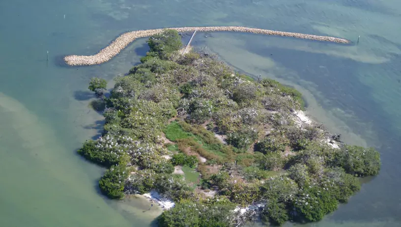
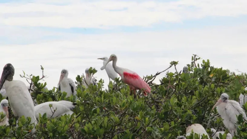
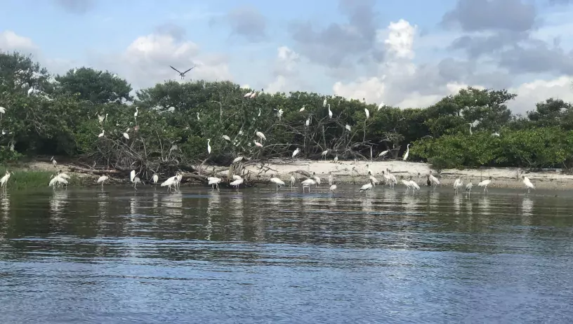
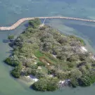
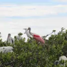
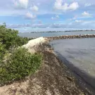
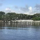
Just 1.6 acres in size, Bird Island (MC-2) is one of the most important bird nesting areas in Southeast Florida. Located in the Indian River Lagoon, this man-made island supports the nesting/roosting of thousands of threatened and endangered birds each year. Bird Island is home to 28 wildlife species, including 18 different bird species of which nine (9) are state or federally protected.
However, erosion has decimated Bird Island’s mass with more than 30 percent of the island lost over the past 50 years as boat wakes, currents, king tides, and wind-driven storms result in shoreline retreat. The island’s erosion has been intensified and accelerated by sea level rise and the increased frequency and intensity of storm events.
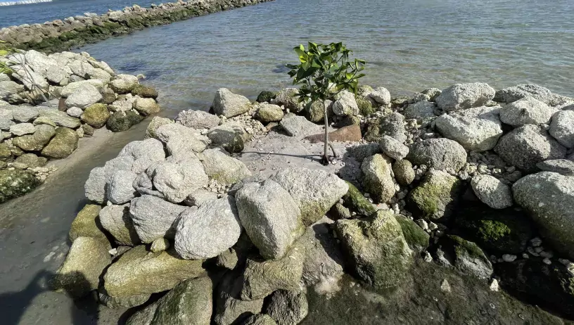
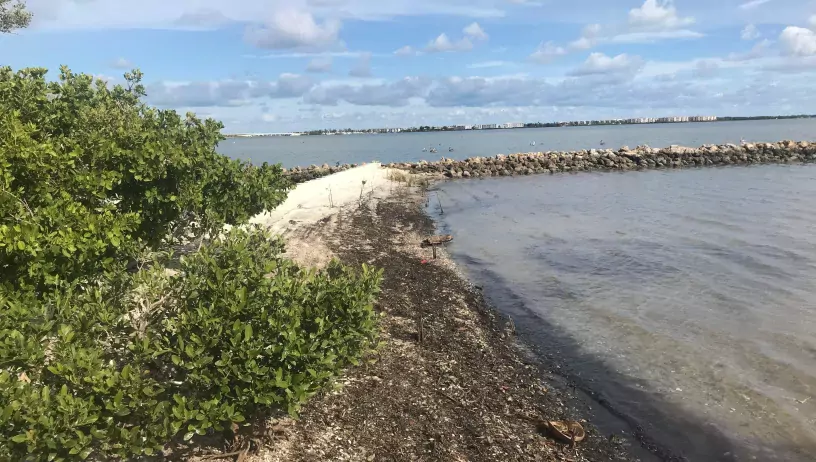
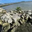
Attempts to stabilize the island with marsh grass and mangrove plantings were largely unsuccessful due to the extent of the erosion, compelling the county to find a more sustainable solution. Therefore, a 400-linear foot long reef, or man-placed rock reef, was constructed to maximize protection to the island while minimizing impact to seagrasses. While the improvements have mitigated the effects of sea level rise, slowed erosion, and encouraged growth of the island along its northeastern portion, the southern end is still under threat. Efforts to install smaller reef planters in that area are currently underway.
Storm protection, ecosystem conservation, and preservation of a popular recreation destination all in one project.
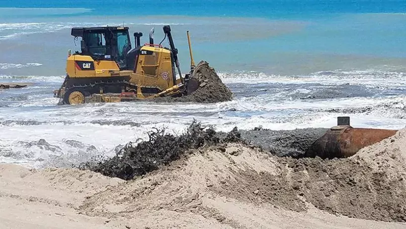
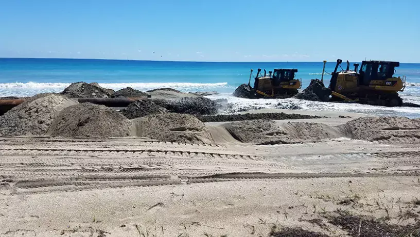
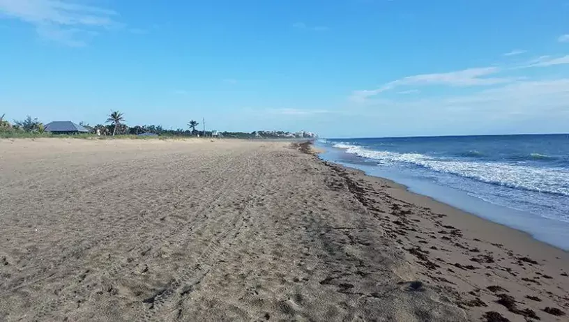
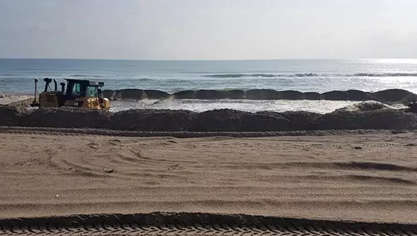
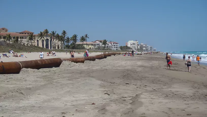
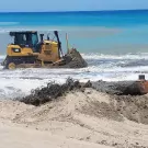
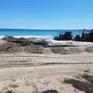
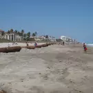
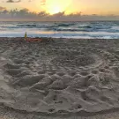
Since 1996, ongoing maintenance efforts to mitigate erosion along the northern four miles of the county coastline have proved to be a crucial commitment. While encroaching seawater could threaten to undermine the integrity of residential structures and flood A1A during a major storm, the county’s foresight in securing a partnership with the U.S. Army Corps of Engineers and the Florida Department of Environmental Protection has created a partnership to maintain critical storm protection for county infrastructure, an essential evacuation route and private property in the area.
Surveys were conducted to confirm the minimum beach width needed to provide adequate storm protection, and the maximum possible beach width that could be constructed while ensuring that no damage would be sustained by valuable nearshore resources.
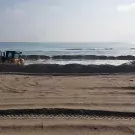
The beach was then reconstructed to meet those specifications and has been monitored ever since, with additional restoration projects launched whenever the beach width approaches the minimum acceptable width.
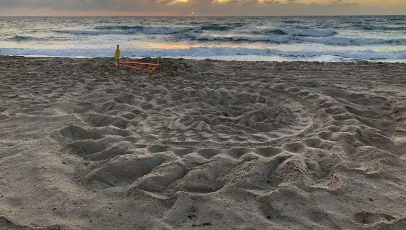
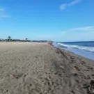
Through these longtime efforts, an effective buffer between the ocean and upland structures has been maintained, as has an important habitat for nesting sea turtles, shore birds, and other wildlife.
A two-part solution to erosion.
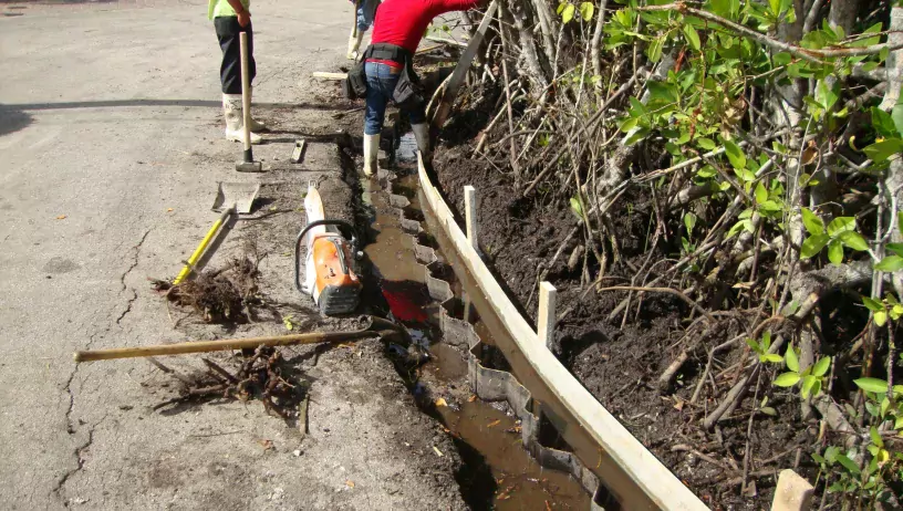
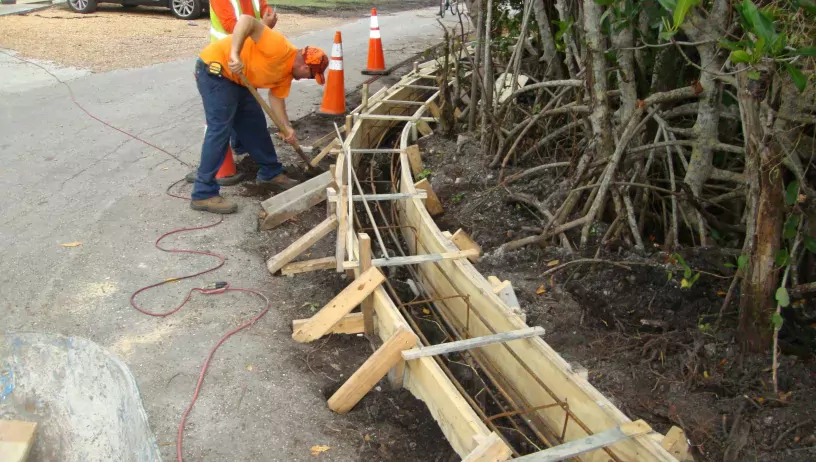
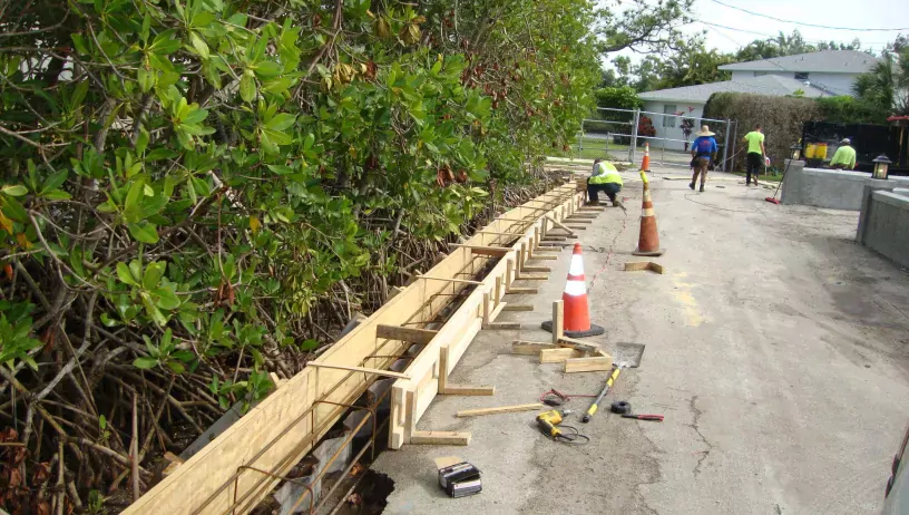
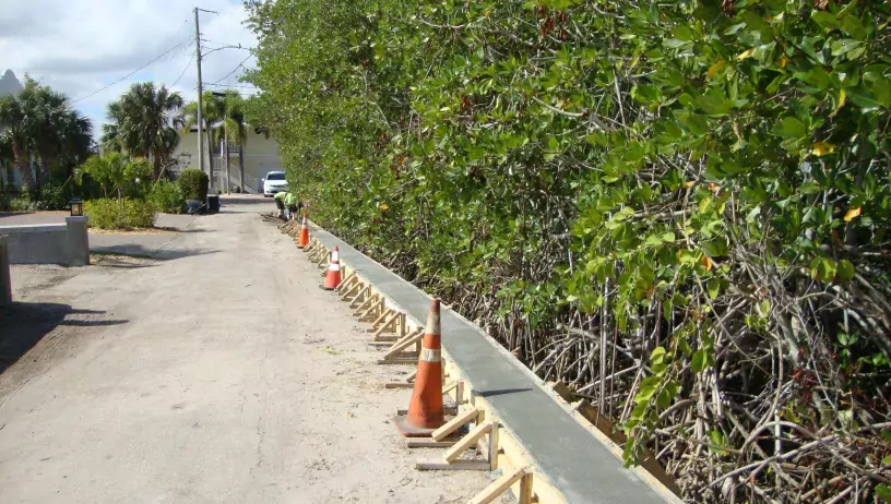
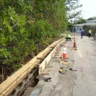
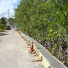
The retaining wall and embankment of Cove Point Street, located along the shoreline of the northwest fork of the Loxahatchee River, was damaged by substantial erosion. As a result, severe flooding of the roadway during peak king tidal and storm events began to impact residents’ ability to easily cross the area on foot or by car. The inundation also damaged the roadway, impacting maintenance and lifespan for the road.
Engineers addressed the problem by erecting a concrete seawall next to the shoreline along the roadway and raised the roadway’s elevation by more than a foot against the seawall pile cap. The entire affected roadway segment was then repaved. As a result of the road and seawall improvements, there have only been reports of tidal flooding during extreme storm events such as hurricanes.
The fix for a flooded roadway.
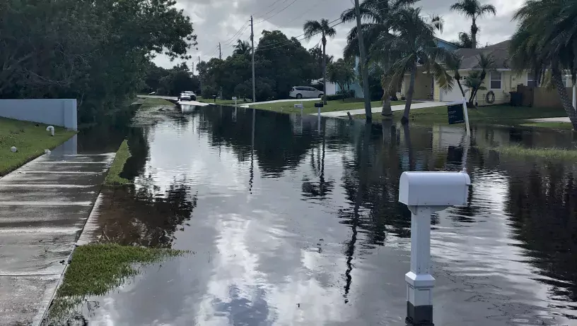
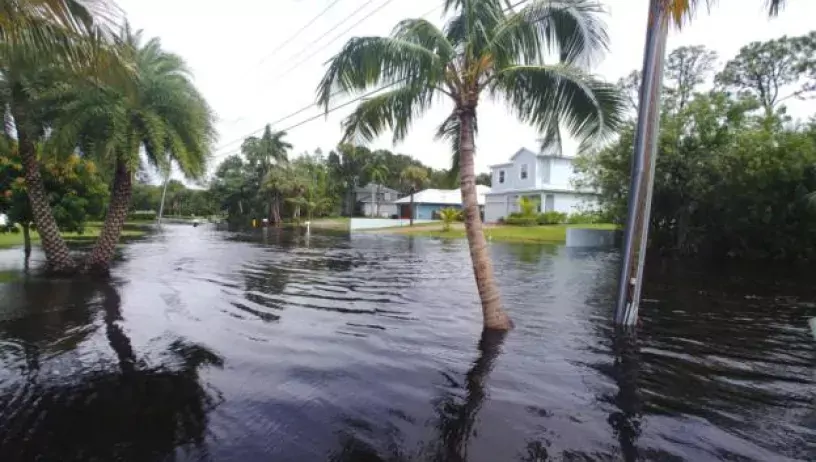
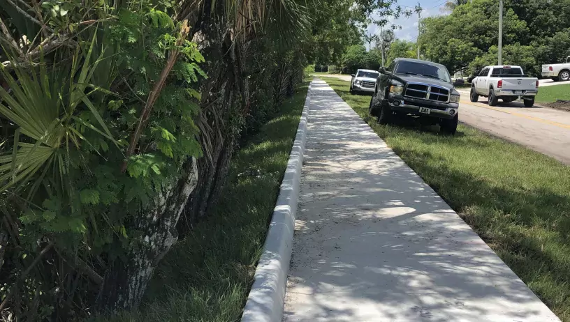
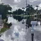
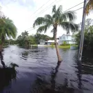
Extreme flooding caused by rising water levels during typical high tides, king tides, and other storm event conditions began to impact or cut off access to 388 homes on Dyer Point Road. Existing drainage system pipes couldn’t handle the higher volumes of rainwater, especially when water levels rose to the point where water actually flowed backwards through the drainage pipes and onto the road. Instead of making the water drain faster, the pipes were increasing flooding in the area during high tide.
While raising the roadway was an obvious consideration, the comparatively low elevation of adjacent properties, which could experience increased flooding under this option, excluded that as a potential fix. Engineers determined that elevating a strategic 350-foot-long stretch of sidewalk and the installation of three storm pipe check valves would greatly improve the situation.
Bringing clean water to the community.
The Tropical Farms Water Treatment Plant is the largest of the two Martin County Utilities’ (MCU) water treatment facilities. It plays a huge part in ensuring a readily available supply of clean drinking water for the community. Making sure that those water supply sources from both fresh shallow and deeper brackish aquifers are protected and managed sustainably is our priority.
As part of a planned plant expansion, two additional Floridan Aquifer System (FAS) wells are being constructed. MCU’s ability to draw on multiple water sources helps safeguard residents’ health by mitigating the impacts of threats such as drought conditions and the negative impact of rising sea levels.


