Resilience Projects
Martin County’s resilience projects address climate and sea level rise impacts by protecting the County’s vulnerable shorelines, natural habitats and water resources. The projects listed below are a sample of the variety of County projects that address resilience related issues, which include: shoreline protection, water pollution prevention, vector-borne disease mitigation, nuisance flooding reduction and sea level rise adaptation.
To learn more about Martin County's efforts addressing community resilience, read the Resilient Martin Projects Update.
Restorative efforts to rebuild and regain functioning of our native Florida ecosystems will be a crucial piece of the interconnected mosaic of planning for a more resilient community moving forward.
The health and functioning of our natural systems are an integral part of our overall resilience as a community. Our waterways such as rivers, lakes, and wetlands play a critical role in how rainfall interacts with the landscape. They act as storm buffers, aiding in water storage and aquifer recharge and contribute to overall water quality in the watershed.
Unfortunately, we have significantly altered our natural water systems throughout the past, thus impacting their ability to thrive and function. Such alterations, combined with a changing climate and increasing sea levels, seriously threatens their functioning and the existence of these natural systems.
Restorative efforts to rebuild and regain functioning of our native Florida ecosystems will be a crucial piece of the interconnected mosaic of planning for a more resilient community moving forward.
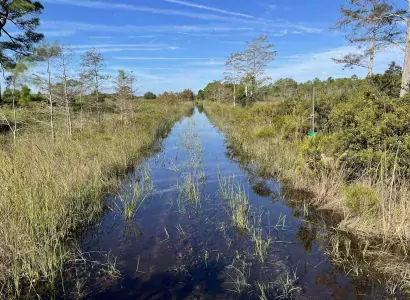
An example of one of these vital efforts is been taking place in Western Martin County. Culpepper Ranch is a 1,294-acre property part of a 20,000 plus acre network of conservation lands known as Hungryland/Pal Mar.
Together these properties form the headwaters of Cypress Creek, which is one of the most important tributaries to the Wild and Scenic Northwest Fork of the Loxahatchee River.
Due to over-drainage, channelization and consumptive water uses, there is a lack of freshwater available for the Loxahatchee River during the dry season. This lack of freshwater allows for saltwater intrusion during the dry season, ultimately killing the freshwater floodplain swamps of the Loxahatchee River.
Due to this saltwater intrusion, several miles of the Loxahatchee freshwater floodplain swamps have already disappeared. Restoration of the Loxahatchee River involves capturing more freshwater in the wet season, so in return, it is available for the river in the dry season.
Restoration of the Culpepper Ranch property is essential to those restoration efforts because all of the water from Hungryland/Pal Mar flows through the Culpepper Ranch property.
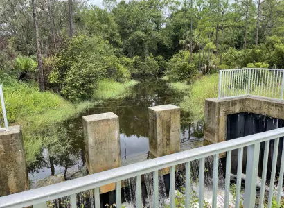
Martin County efforts to restore Culpepper Ranch are not complete; currently the County is retrofitting a control structure on two 84’ culverts with screw gates. These new gates will be operable to be raised and lowered to optimize water levels on the property throughout the year.
The control structure is set at higher elevations, during the rainy season to hold more water in the watershed. During the dry season, the screw gates will be lowered, which will allow for more flow into Cypress Creek and the Loxahatchee River.
Martin County will also improve about a mile of the berm along the eastern property line, providing flood protection for adjacent neighbors. In essence, the project will enhance hydrologic function in the region while balancing the needs of providing dry season flows to the Loxahatchee River and maintaining flood protection for nearby private landowners.
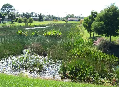
Stormwater Treatment Areas (STAs) are constructed living wetlands divided into flow-through treatment cells that remove nutrients from agricultural and urban runoff water, especially after major storms, prior to discharge to our creeks and rivers.
In the face of increasingly intense storms and rising sea levels, effective and functioning stormwater systems are critical to avoid flooding and any of the damages associated with it. Stormwater Treatment Areas (STAs) are constructed living wetlands divided into flow-through treatment cells that remove nutrients from agricultural and urban runoff water, especially after major storms, prior to discharge to our creeks and rivers.
With sea levels rising, high tides, and storms, the water levels at the receiving end of the system (our estuaries) are higher than that of the treatment area and the saltwater creeps in, causing tidal backflow.
This tidal backflow results in saltwater moving into the STA and taking up space typically available for stormwater runoff. Martin County’s Golden Gate STA, built in 2003, has received recent resilience funding through the State of Florida to address such issues.
Currently, tidal backflow in the north outfall canal for the STA results in storage reduction of the lake and increasing salinity. The county will construct a new weir structure to protect this outfall.
It will also restore portions of the outfall canal utilizing nature-based solutions for erosion control and water quality. The overall goal of this project is to reduce saltwater intrusion within the STA, increase stormwater storage capacity, and improve water quality within the basins associated with this outfall.
Rescuing an invaluable wildlife habitat.
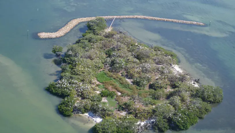
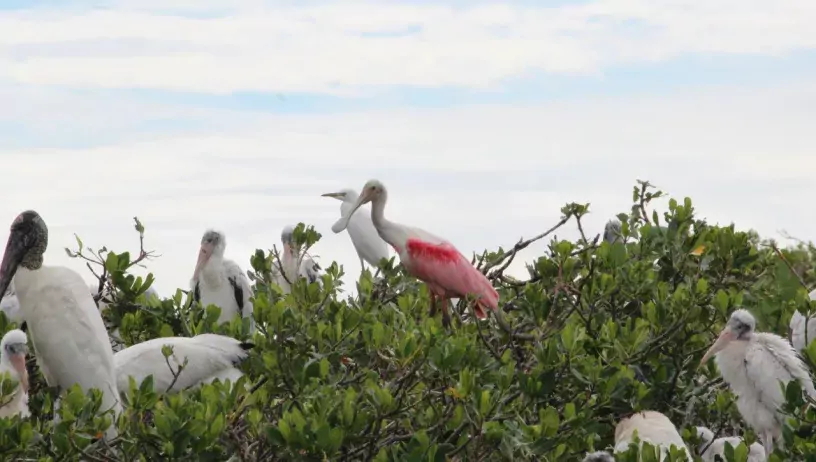
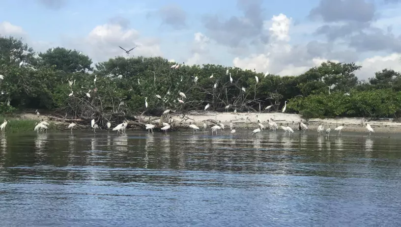
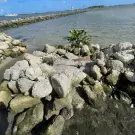
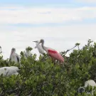
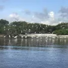
Just 1.6 acres in size, Bird Island (MC-2) is one of the most important bird nesting areas in Southeast Florida. Located in the Indian River Lagoon, this man-made island supports the nesting/roosting of thousands of threatened and endangered birds each year. Bird Island is home to 28 wildlife species, including 18 different bird species of which nine (9) are state or federally protected.
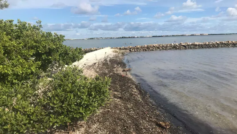
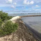
However, erosion has decimated Bird Island’s mass with more than 30 percent of the island lost over the past 50 years as boat wakes, currents, king tides, and wind-driven storms result in shoreline retreat. The island’s erosion has been intensified and accelerated by sea level rise and the increased frequency and intensity of storm events.
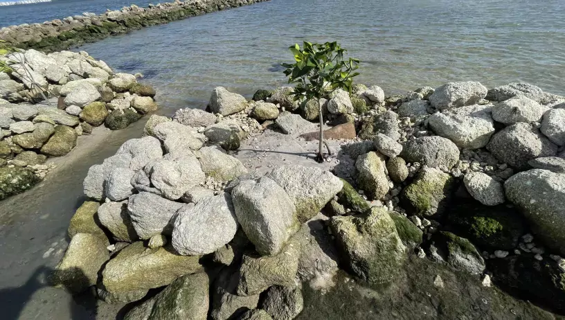
Attempts to stabilize the island with marsh grass and mangrove plantings were largely unsuccessful due to the extent of the erosion, compelling the county to find a more sustainable solution. Therefore, a 400-linear foot long reef, or man-placed rock reef, was constructed to maximize protection to the island while minimizing impact to seagrasses. While the improvements have mitigated the effects of sea level rise, slowed erosion, and encouraged growth of the island along its northeastern portion, the southern end is still under threat. Efforts to install smaller reef planters in that area are currently underway.
Storm protection, ecosystem conservation, and preservation of a popular recreation destination all in one project.
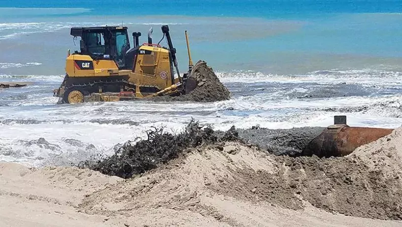
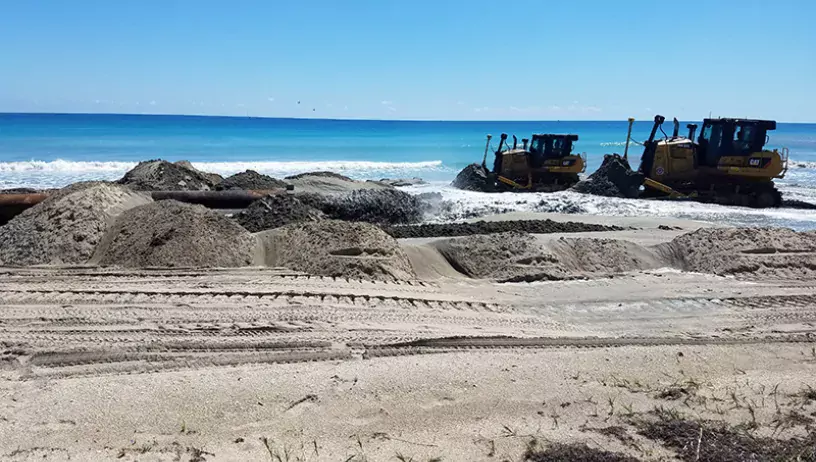
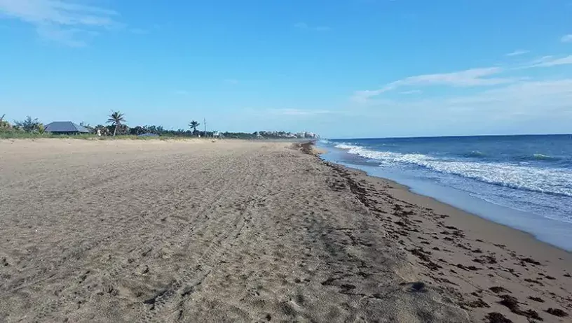
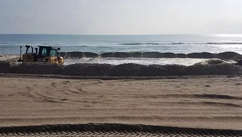
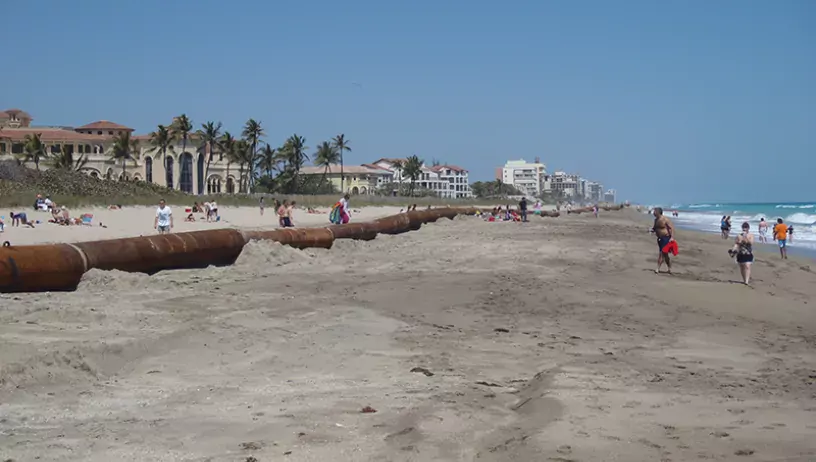
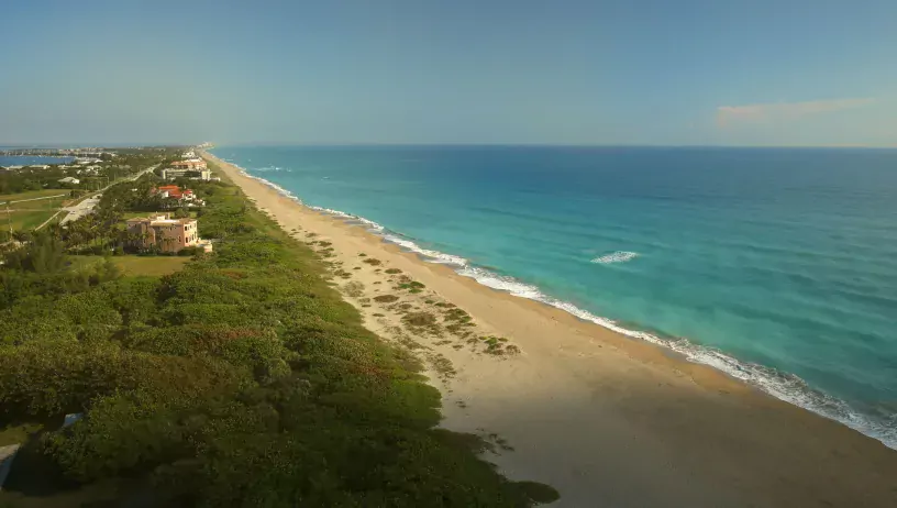
Since 1996, ongoing maintenance efforts to mitigate erosion along the northern four miles of the county coastline have proved to be a crucial commitment. While encroaching seawater could threaten to undermine the integrity of residential structures and flood A1A during a major storm, the county’s foresight in securing a partnership with the U.S. Army Corps of Engineers and the Florida Department of Environmental Protection has created a partnership to maintain critical storm protection for county infrastructure, an essential evacuation route and private property in the area.
Surveys were conducted to confirm the minimum beach width needed to provide adequate storm protection, and the maximum possible beach width that could be constructed while ensuring that no damage would be sustained by valuable nearshore resources.
The beach was then reconstructed to meet those specifications and has been monitored ever since, with additional restoration projects launched whenever the beach width approaches the minimum acceptable width.
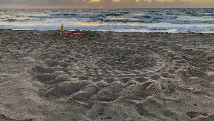
Through these longtime efforts, an effective buffer between the ocean and upland structures has been maintained, as has an important habitat for nesting sea turtles, shore birds, and other wildlife.
A two-part solution to erosion.
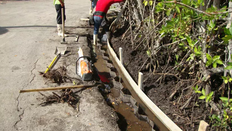
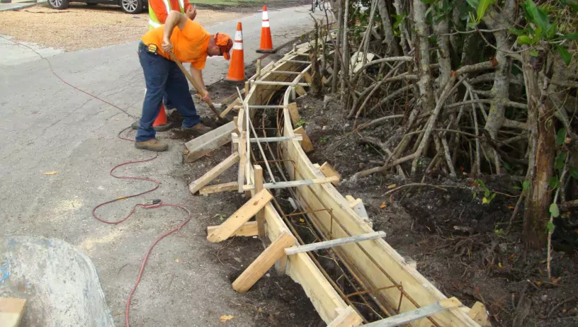
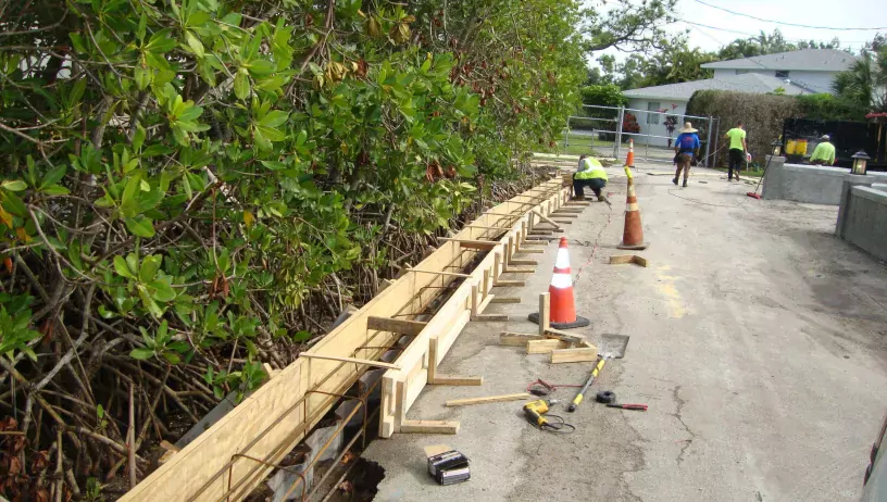
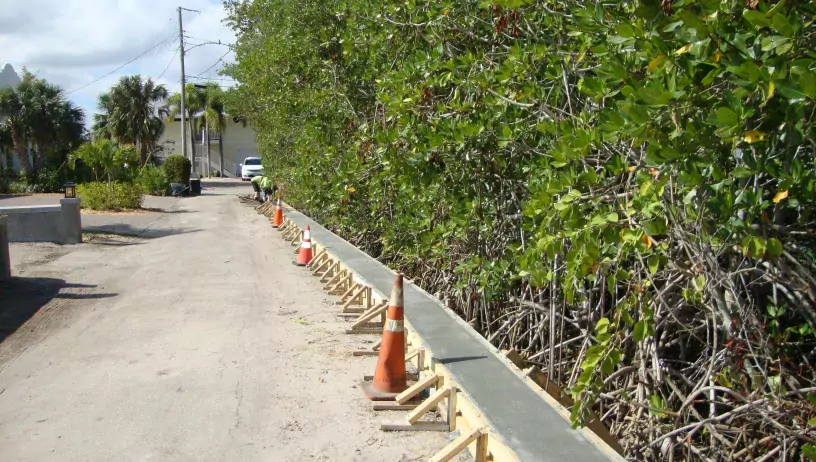
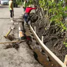
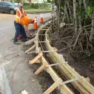
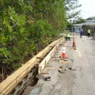
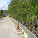
The retaining wall and embankment of Cove Point Street, located along the shoreline of the northwest fork of the Loxahatchee River, was damaged by substantial erosion. As a result, severe flooding of the roadway during peak king tidal and storm events began to impact residents’ ability to easily cross the area on foot or by car. The inundation also damaged the roadway, impacting maintenance and lifespan for the road.
Engineers addressed the problem by erecting a concrete seawall next to the shoreline along the roadway and raised the roadway’s elevation by more than a foot against the seawall pile cap. The entire affected roadway segment was then repaved. As a result of the road and seawall improvements, there have only been reports of tidal flooding during extreme storm events such as hurricanes.
The fix for a flooded roadway.
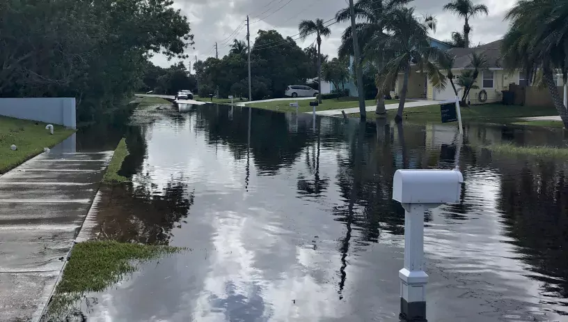
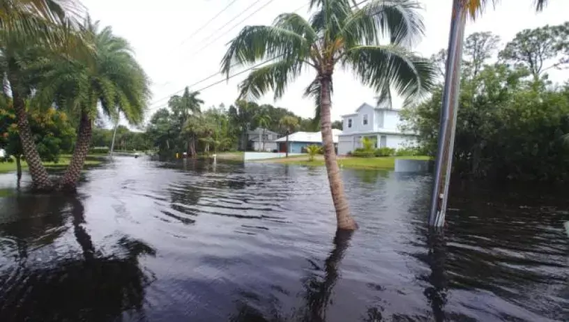
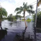
Extreme flooding caused by rising water levels during typical high tides, king tides, and other storm event conditions began to impact or cut off access to 388 homes on Dyer Point Road. Existing drainage system pipes couldn’t handle the higher volumes of rainwater, especially when water levels rose to the point where water actually flowed backwards through the drainage pipes and onto the road. Instead of making the water drain faster, the pipes were increasing flooding in the area during high tide.
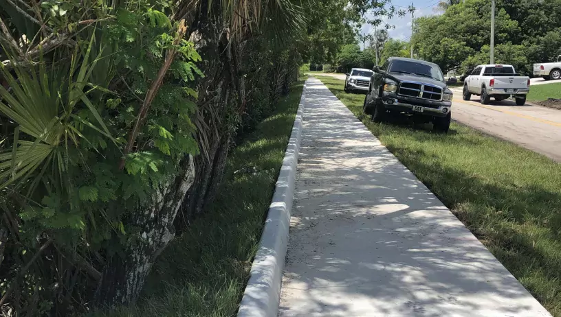
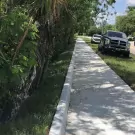
While raising the roadway was an obvious consideration, the comparatively low elevation of adjacent properties, which could experience increased flooding under this option, excluded that as a potential fix. Engineers determined that elevating a strategic 350-foot-long stretch of sidewalk and the installation of three storm pipe check valves would greatly improve the situation.
Protecting the ocean, shorelines, and ourselves by reducing the use of single-use plastics.
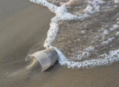
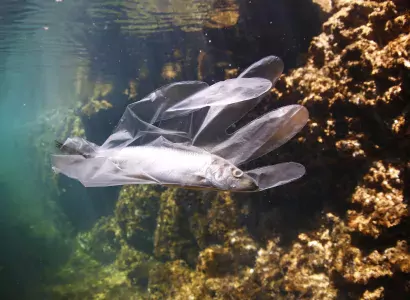
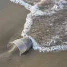
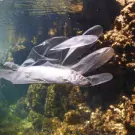
Over 8 million metric tons of non-biodegradable plastics waste enters our oceans each year. These plastics, including beverage bottles, plastic bags, plastic straws, and food containers, have a tremendous impact on coastal, marine, animal, and human health, and in turn affect recreation, tourism, and the economy.
In effort to stem the trash tide, the Martin County Board of County Commissioners passed a resolution in April 2019 to preserve and protect local waterways by supporting the voluntary reduction of single-use plastic straws, polystyrene, and plastic use in general.
To that end, an educational outreach campaign to educate K-12 students, the public, and businesses on the harm created by plastic pollution and to support breaking the plastic use cycle by utilizing alternative practices and products is being created. The goal is to reduce and ultimately eliminate single-use plastic to preserve, protect, and enhance our local waterways and prevent plastic pollution from entering the marine environment.
These actions aim to protect and preserve shorelines and ecosystems that provide vital carbon storage, habitat biodiversity, water quality improvement, and natural barriers to sea level rise and storm surges.
Bringing clean water to the community.
The Tropical Farms Water Treatment Plant is the largest of the two Martin County Utilities’ (MCU) water treatment facilities. It plays a huge part in ensuring a readily available supply of clean drinking water for the community. Making sure that those water supply sources from both fresh shallow and deeper brackish aquifers are protected and managed sustainably is our priority.
As part of a planned plant expansion, two additional Floridan Aquifer System (FAS) wells are being constructed. MCU’s ability to draw on multiple water sources helps safeguard residents’ health by mitigating the impacts of threats such as drought conditions and the negative impact of rising sea levels.
Restoring mangroves to protect coastal communities.
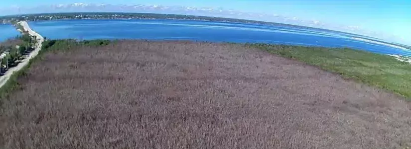
Jensen Beach Impoundment (JBI) is a 170-acre mangrove wetland area that lies within the Jensen Beach to Jupiter Inlet Aquatic Preserve. It serves to control black salt marsh mosquitoes (Aedes taeniorhynchus) while providing critical mangrove habitat in the Indian River Lagoon that offers shoreline protection and reduces flooding in low-lying, vulnerable coastal areas.
In the aftermath of Hurricane Irma, over 50-acres of primarily red mangrove (Rhizophora mangle) habitat was lost in the JBI due to high water levels and poor water circulation. In response, the county has secured funding from the State Wildlife Grant and National Oceanic and Atmospheric Administration (NOAA) to improve water flow in and out of the impoundment by installing four (4) new culvert connections (drain pipes) to the Indian River Lagoon, and dredging the existing channels.
New mangrove plantings will be added to the restored impoundment to jumpstart growth, thereby improving JBI’s mangrove ecosystem and flood protection capacity.
Discover how Martin County is dedicated to promoting and supporting ongoing sustainable tourism practices.
The Protect Our Paradise website serves as a portal for visitors and residents to learn more about environmental conditions, initiatives, and issues taking place in Martin County. The website, operated by the Martin County Office of Tourism & Marketing, includes various resources and points of focus that can be accessed by the blue tabs at the top of the page. There are plenty of simple ways visitors can help support sustainability while staying in our area.
For example, plan a “green” getaway. Launched in 2004, the Florida Green Lodging Program is a Florida Department of Environmental Protection (DEP) initiative that designates and recognizes lodging facilities that make a voluntary commitment to conserve and protect Florida’s natural resources. Facilities are able to obtain different “Palm” levels, rating 1 to 4 palms, based on the total number of points received when implementing criteria to receive their designation.
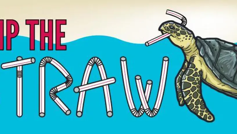
Martin County has also teamed up with the Florida Department of Environmental Protection to promote a Skip the Straw initiative, which challenges individuals, schools, and businesses to help reduce pollution from plastic in Florida.
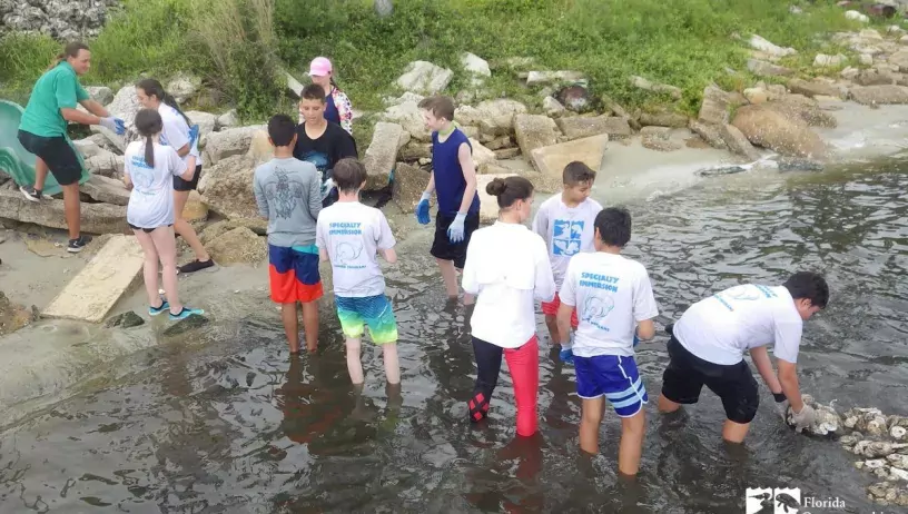
And there are countless “voluntourism” activities and experiences that visitors can partake in during their time in Martin County. For example, join a beach clean-up with Keep Martin Beautiful or help restore local seagrass habitats with the Florida Oceanographic Coastal Center.
How else can you help make a difference? Shop local vendors that support sustainability practices, join advocacy groups with missions you support, and most importantly, incorporate reduction strategies into your everyday routine.
The county’s emergency response and management system.
The Martin County Emergency Management Agency works closely with federal, state, local, and relevant nonprofit and private sector entities to ensure the community is prepared for any type of disaster. The Road to Readiness is a one-stop pamphlet providing preparedness information on all potential hazards residents may face, including what to do before, during, and after a disaster.
It is coupled with AlertMartin, the emergency notification system used by all first responder and utility agencies in the county to provide prompt notice of pending and ongoing incidents. Residents may register with AlertMartin to receive notifications via text, call, and/or email.
An educated and informed public is the foundation on which quick-to-recover communities and effective support systems are built. Being able to recover from adversity and take a proactive stance in future plans is at the heart of resiliency. The Road to Readiness and AlertMartin enable Martin County to navigate predicted changes and bounce back from episodic disasters.


